Story:
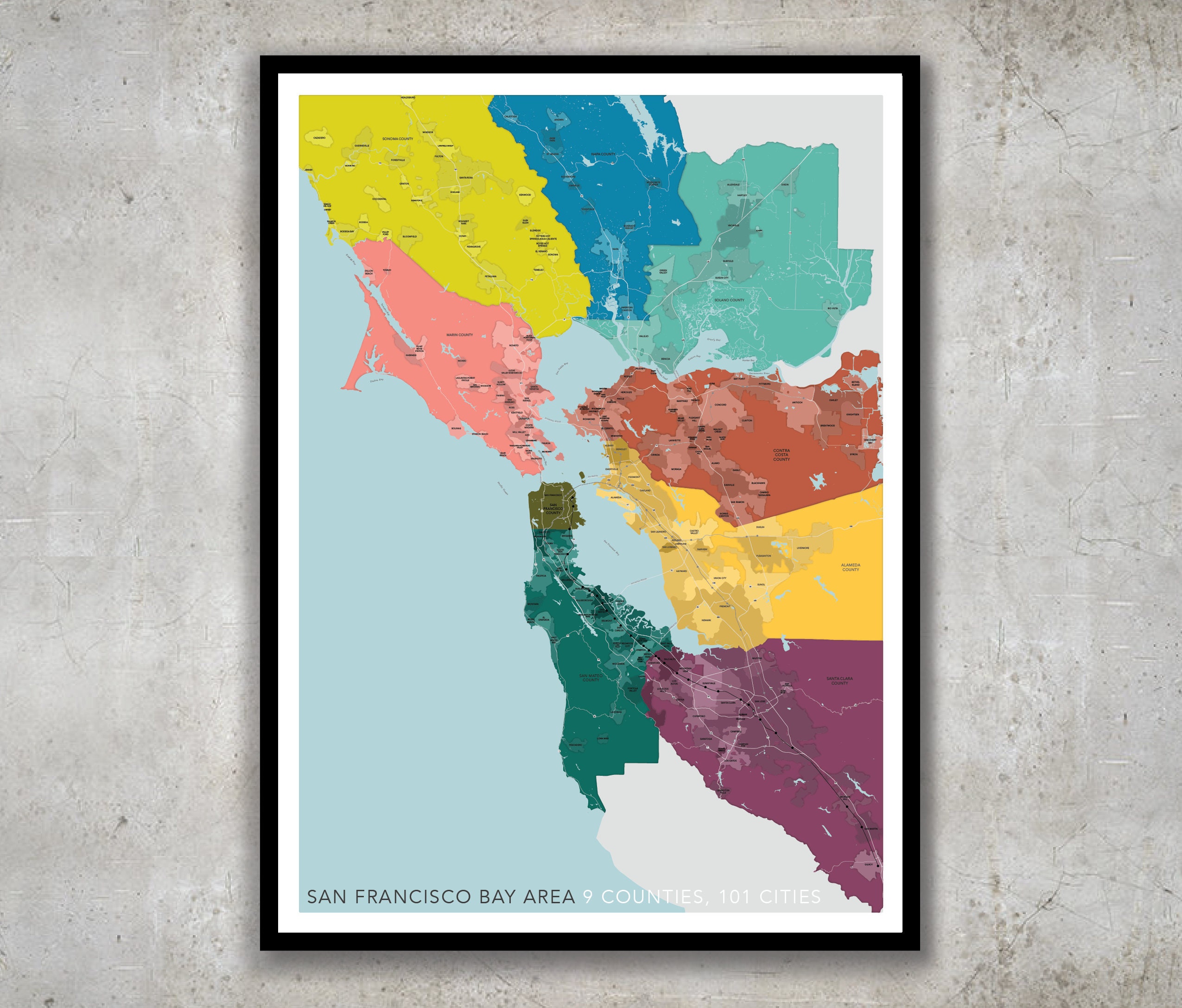
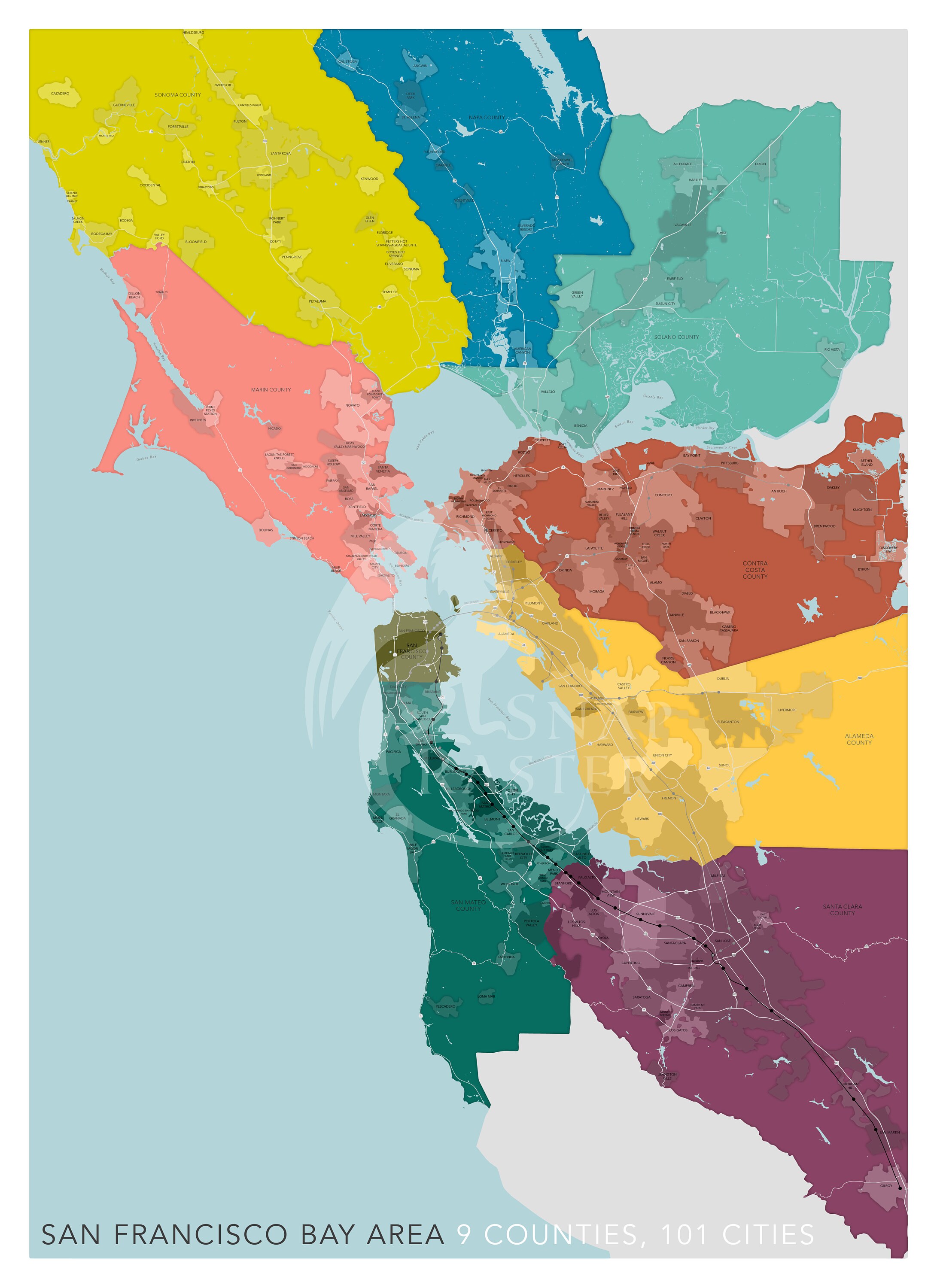
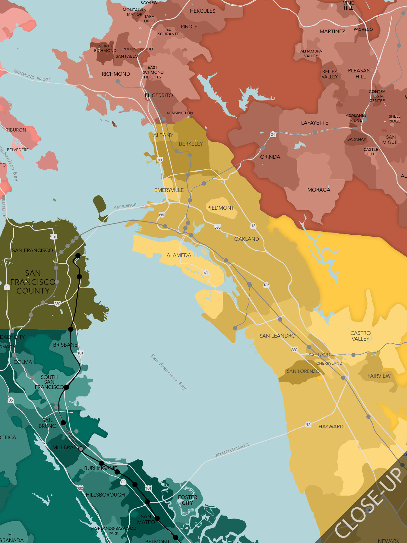
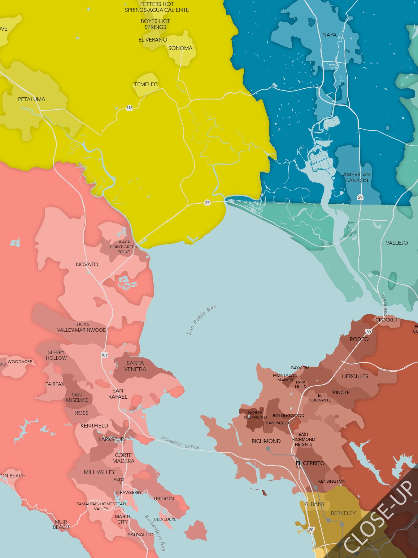
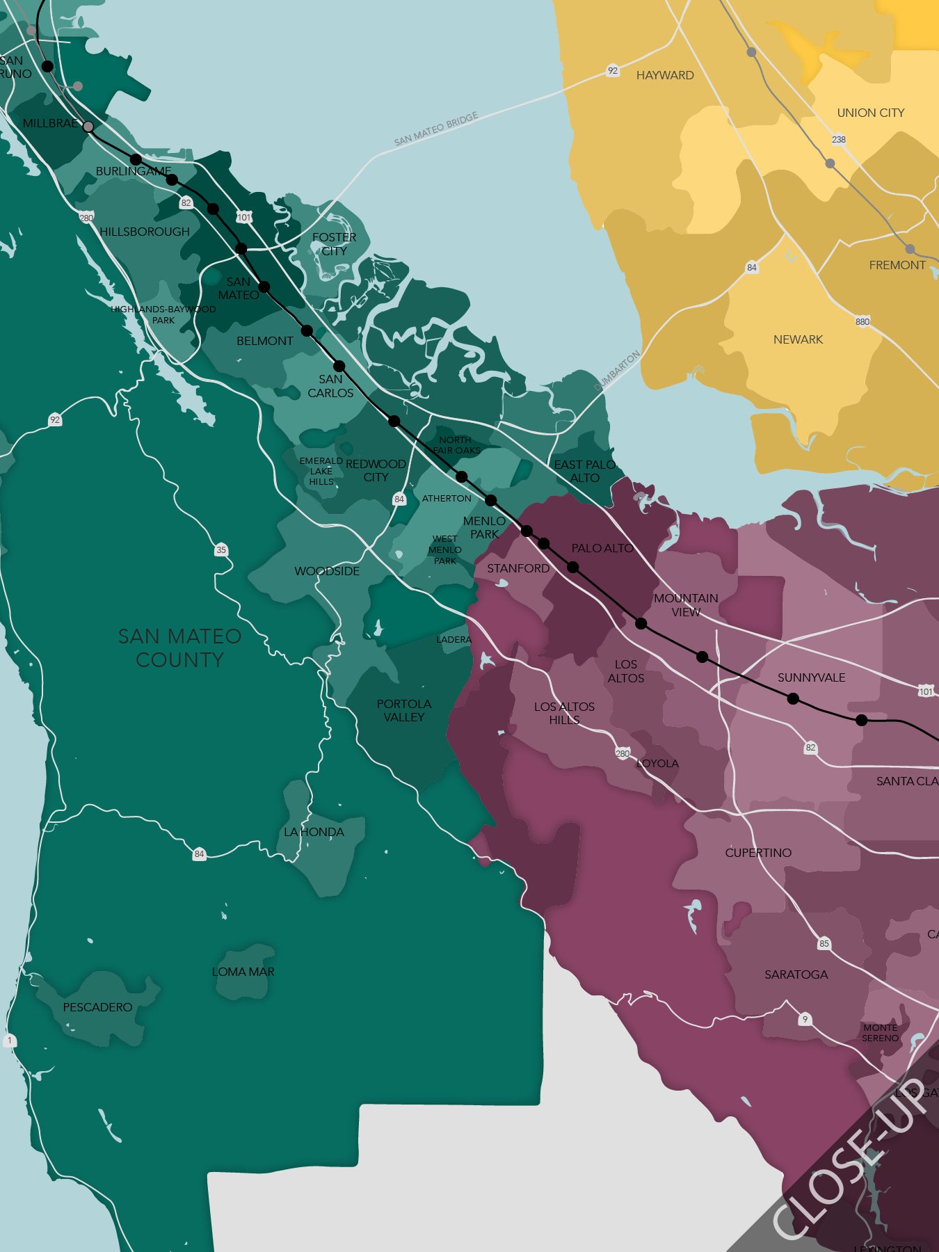
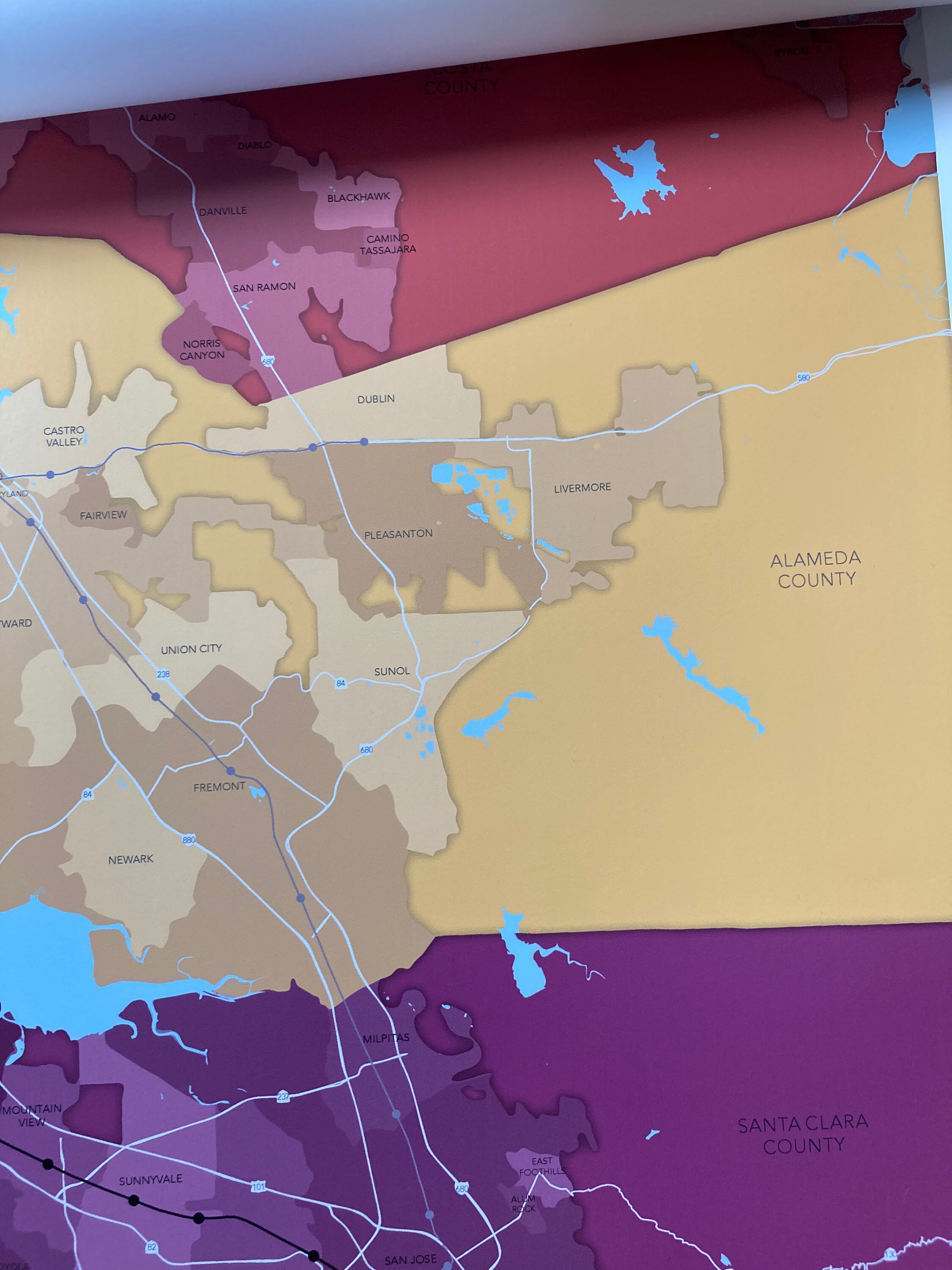
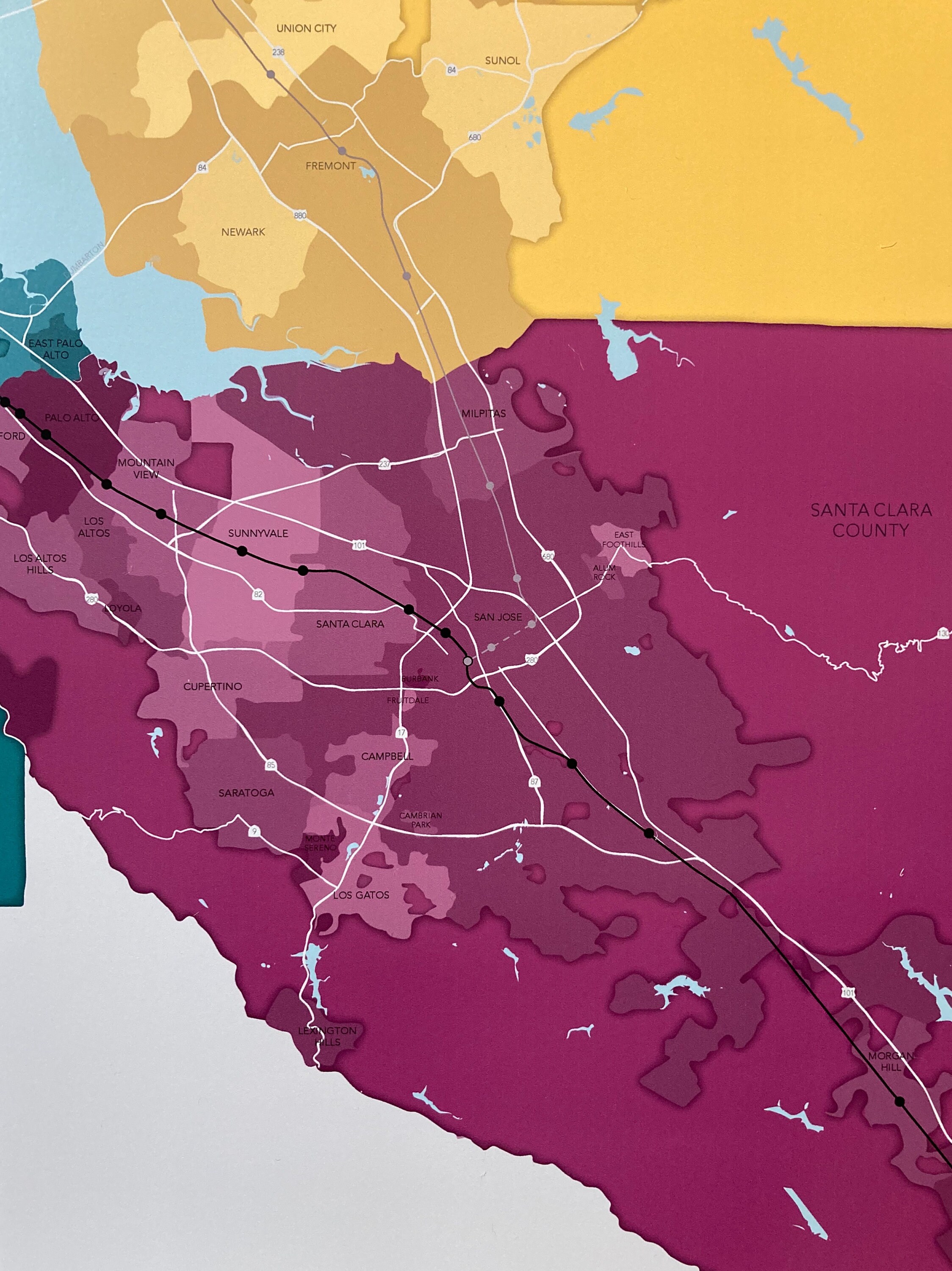
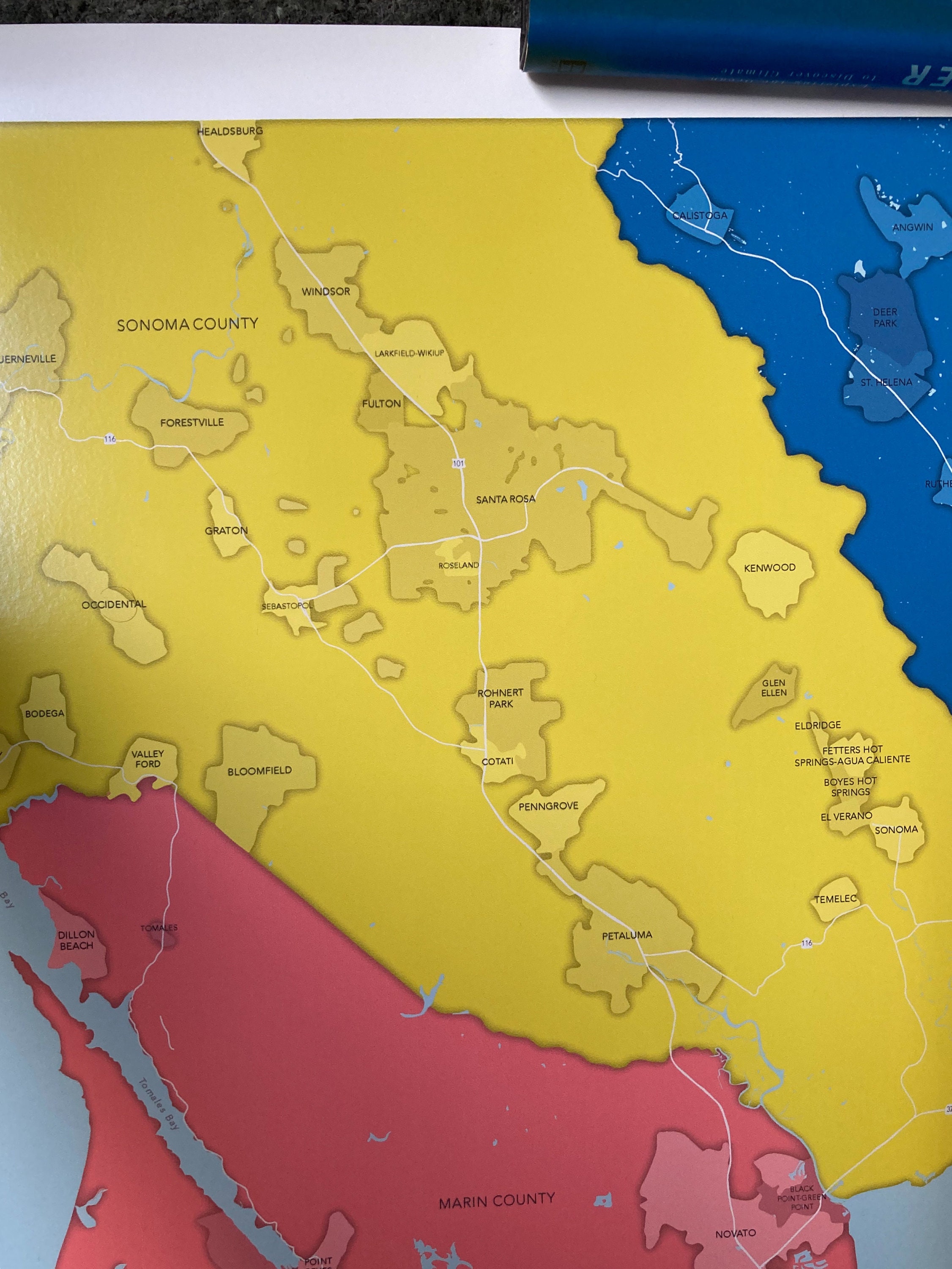
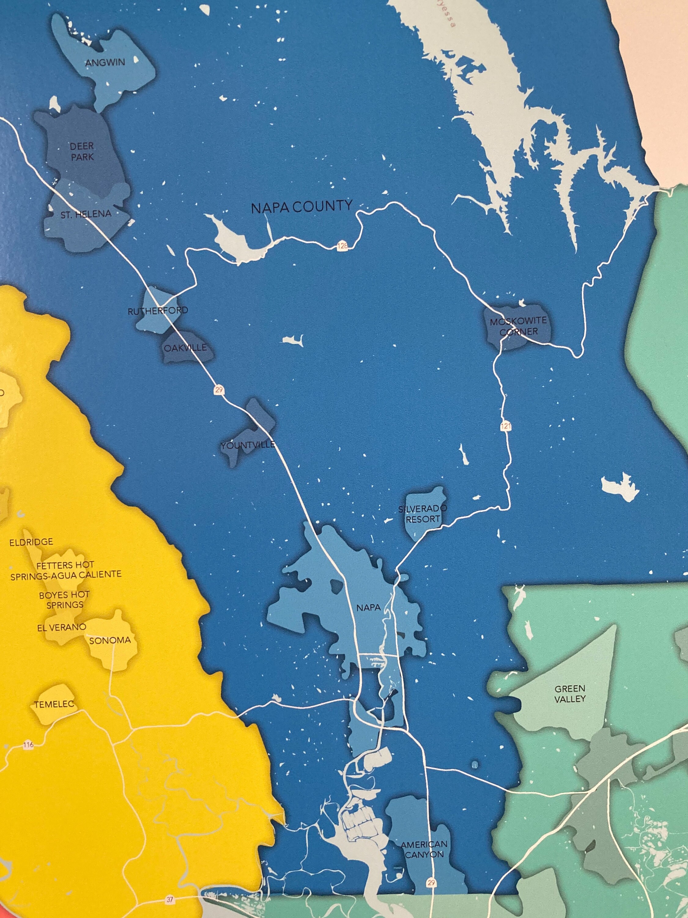
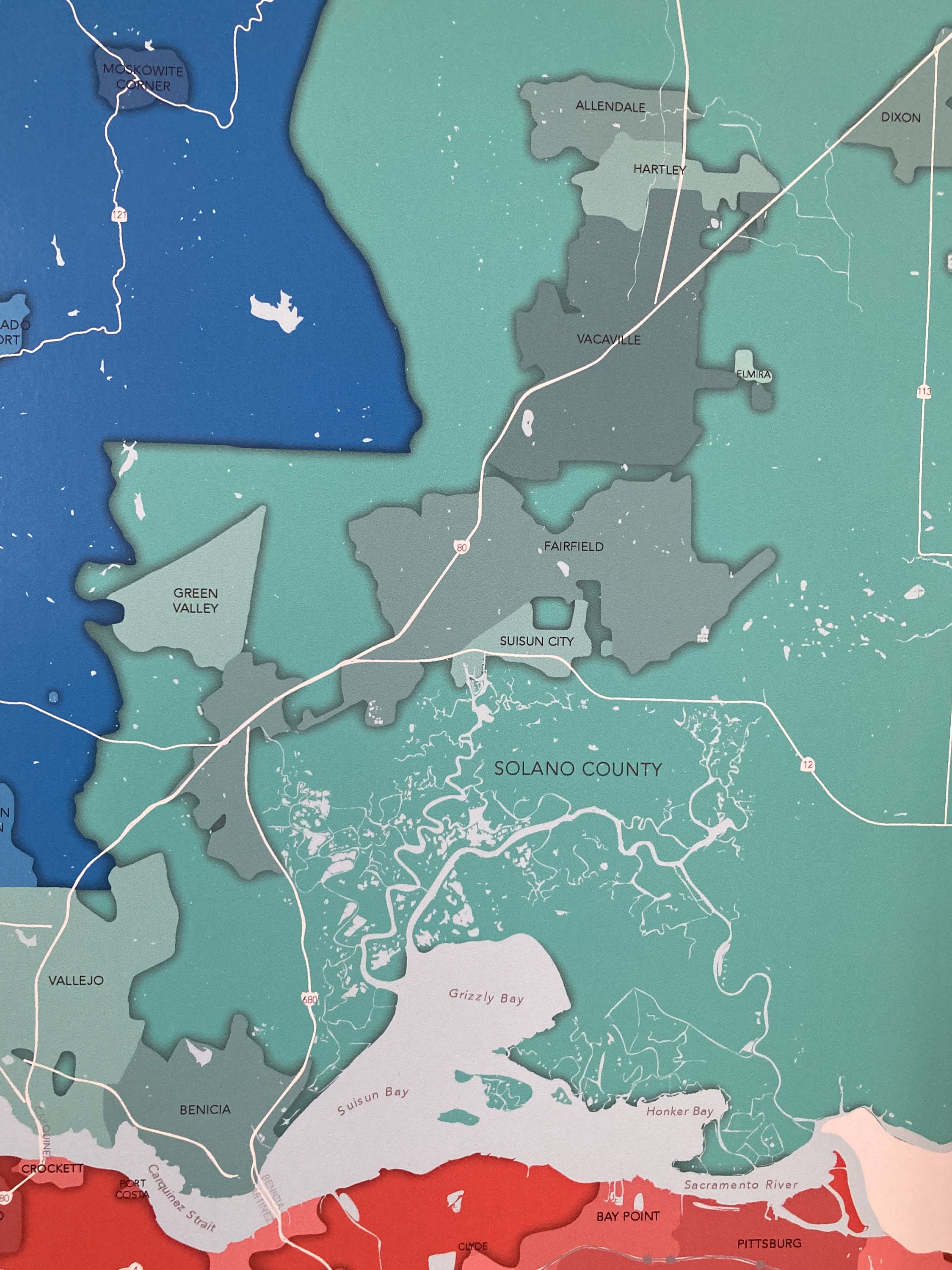
I designed this map for a local urban planning firm to create a functional conversation piece for their conference room. The map includes labeled counties, cities, highways, water bodies, and bridges of the Bay Area. It also shows Bart and Caltrain lines + stations that are unlabeled, and a fun challenge to identify if you're a local transit user.
Every time I look at this map I see a new city or geographic feature I didn't know about before. Like the cities along the Carquinez Strait or the unincorporated lands of Napa County! It's educational and fun.
Size:
The labels were placed and sized for viewing on a 32x44 print, this size includes a 1 inch border. I can do custom sizes upon request, just reach out.
Note on the Process:
This is a digitally made GIS-map using data from the City of San Francisco, the State of California, Bart, MTC, and the National Hydrography Dataset. Each map is locally printed using archival toner ink on 10 mil ultra-smooth semi-gloss poster paper, which produces a bright color and smooth texture while maintaining a high resolution.
Shipping:
I hand-check each map for flaws and will personally package and ship with shipping insurance within 1 week of ordering (please allow additional time for custom color scheme requests).
**Color may vary between monitor and print
**Frame not included
Check out my other maps: www.snapraster.com
See other street maps: https://www.snapraster.com/shop/23445818/street-maps
Returns & Exchanges
I gladly accept returns and exchanges
Just contact me within: 14 days of delivery
Ship items back to me within: 30 days of delivery
I don't accept cancellations
But please contact me if you have any problems with your order.
The following items can't be returned or exchanged
Because of the nature of these items, unless they arrive damaged or defective, I can't accept returns for:
- Custom or personalized orders
- Perishable products (like food or flowers)
- Digital downloads
- Intimate items (for health/hygiene reasons)
