Story:
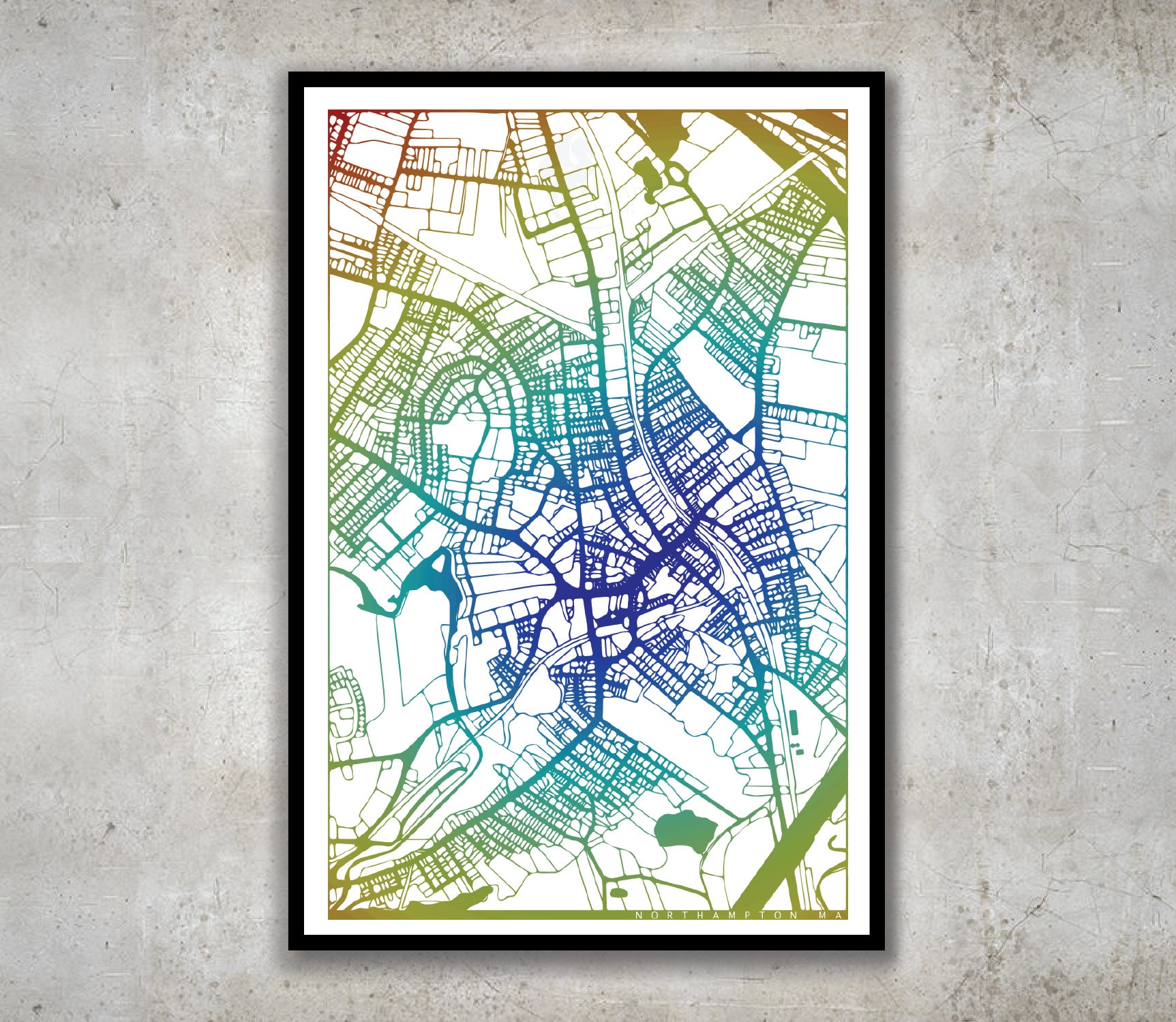
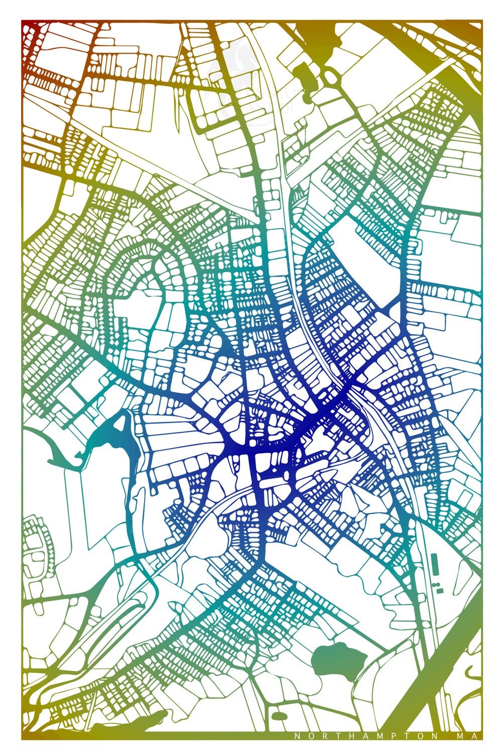
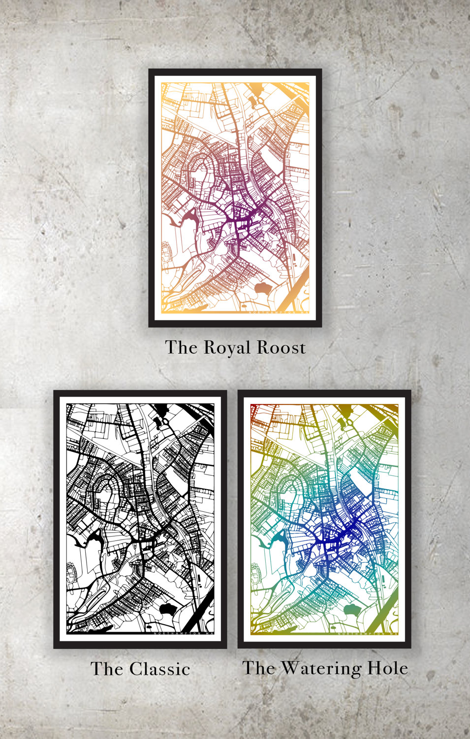
I made this map to celebrate the great town of Northampton! As a person who travels mostly on foot I've found my curiosity piqued by the winding main streets of Northampton. I made a map of the streets as they branch out of downtown and sprawl towards surrounding towns enclosed at the edges of the frame by the highway and Mill River. I left the streets without labels to best capture the experience of walking around town in which one is mostly unaware of street names, relying on intersections and landmarks to navigate.
Color:
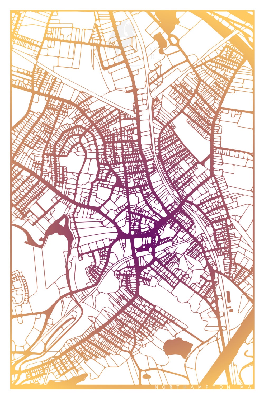
This map comes in multiple color schemes, all of which radiate from the central point of Main Street. I tried to make my rainbow color schemes a variation on the usual to bring new life to the classic expression of pride. I included other color schemes to diversify the focus of the map.
Size:
Prints available in 12x18, 18x24, and 20x30 -- size includes .5" white border.
Note on the Process:
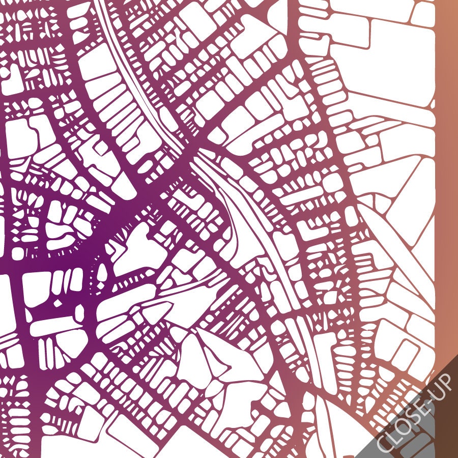
This is a digitally made GIS-map using data from Massachusetts Office of Geographic Information made in consultation with Claire C. Adams. Each map is locally printed using archival toner ink on 120lb paper with a matte finish. The 18x24 and 20x30 sizes are printed on 10 mil ultra-smooth matte poster paper, which produces a brighter color and smoother texture.
Shipping:
I hand-check each map for flaws and will personally package and ship with shipping insurance within 1 week of ordering.
**Color may vary between monitor and print
**Frame not included
Check out my other maps: ( https://www.snapraster.com/ )
See other street maps: https://www.snapraster.com/shop/23445818/street-maps
Returns & Exchanges
I gladly accept returns and exchanges
Just contact me within: 14 days of delivery
Ship items back to me within: 30 days of delivery
I don't accept cancellations
But please contact me if you have any problems with your order.
The following items can't be returned or exchanged
Because of the nature of these items, unless they arrive damaged or defective, I can't accept returns for:
- Custom or personalized orders
- Perishable products (like food or flowers)
- Digital downloads
- Intimate items (for health/hygiene reasons)
Reviews (1)
Average:
Dec 20, 2016
Purchased for my boyfriend who now lives in Vermont but loves his home town. I framed it for him for Christmas, I think he'll love it
