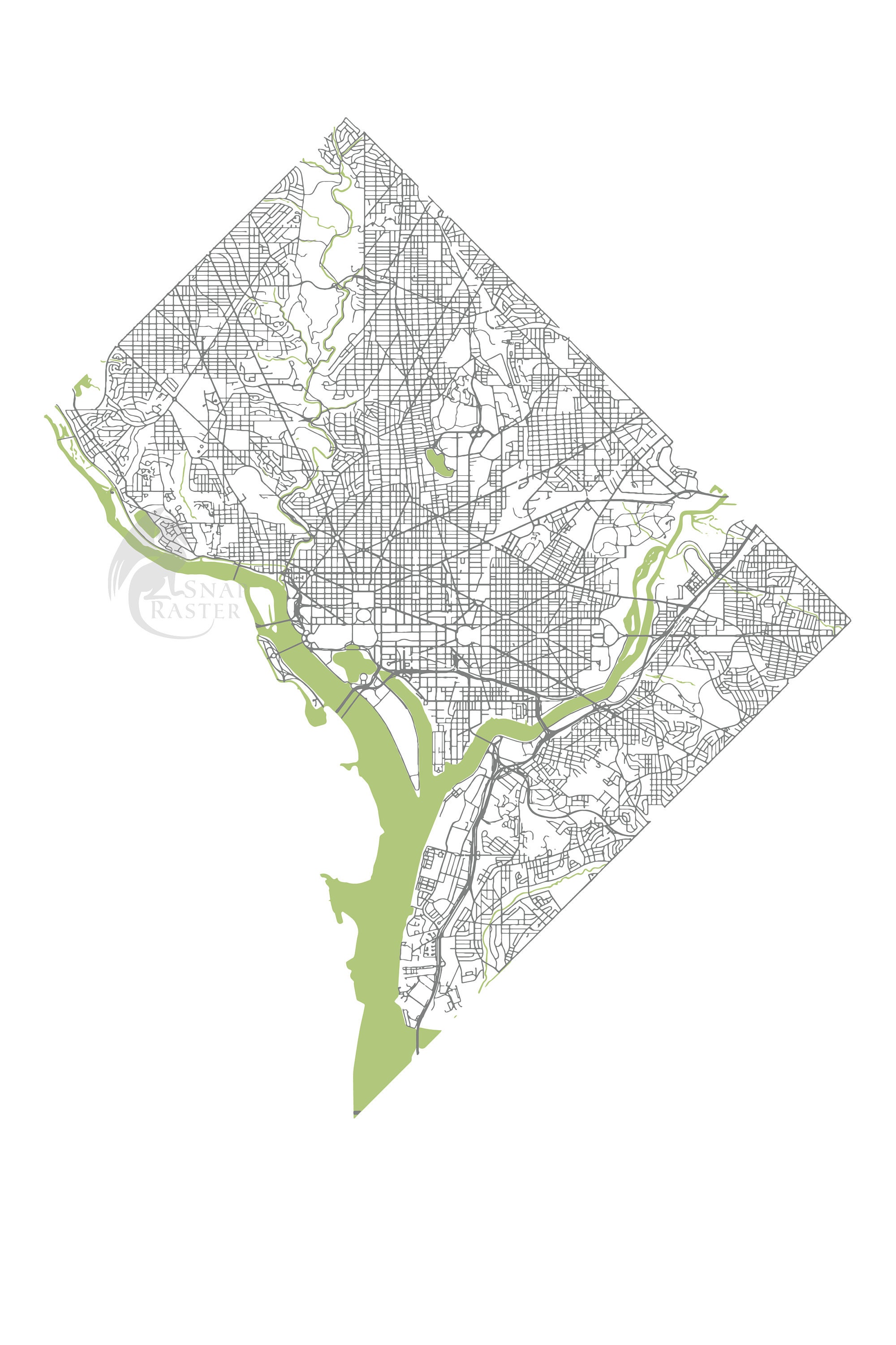
This Map's Story:
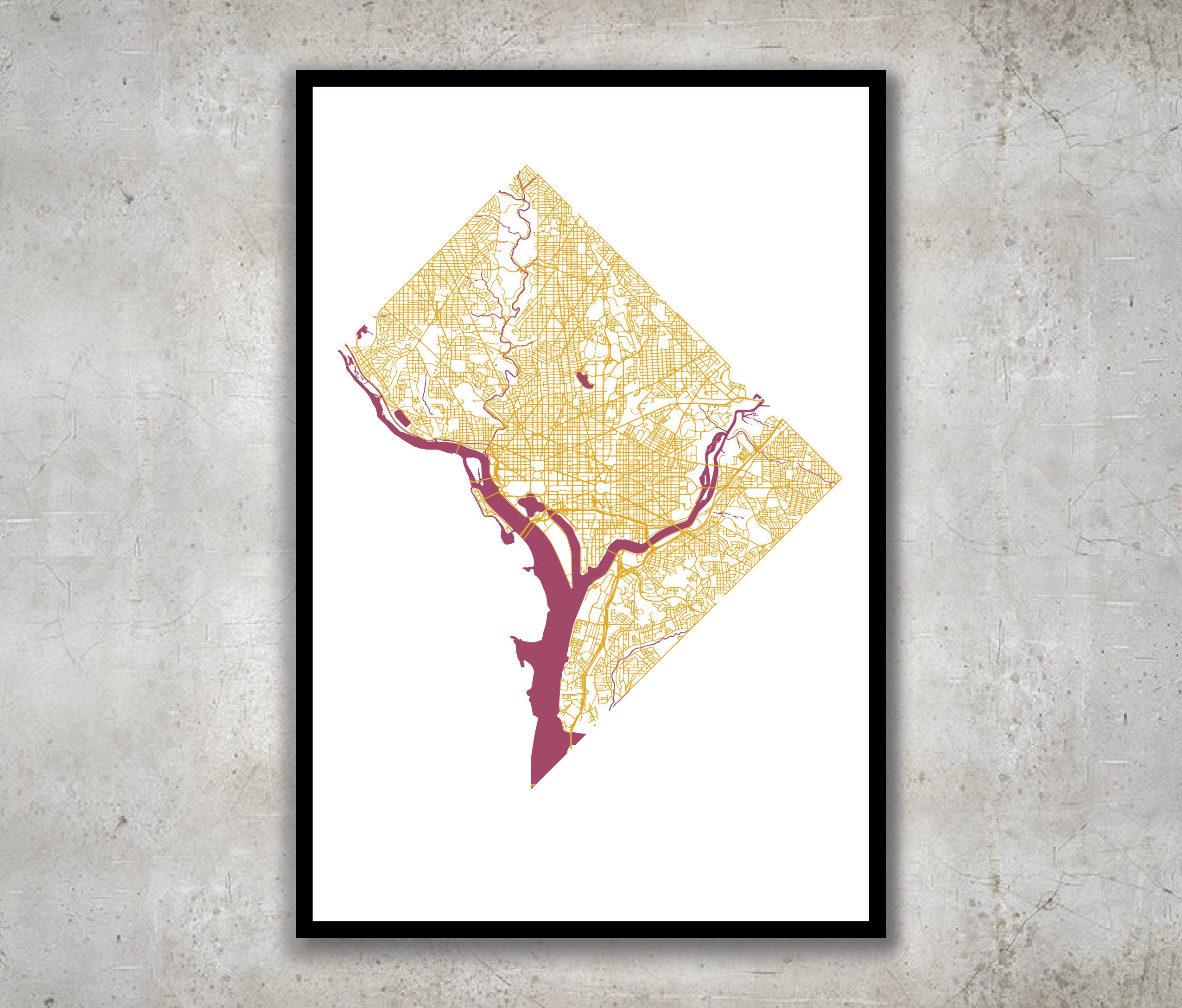
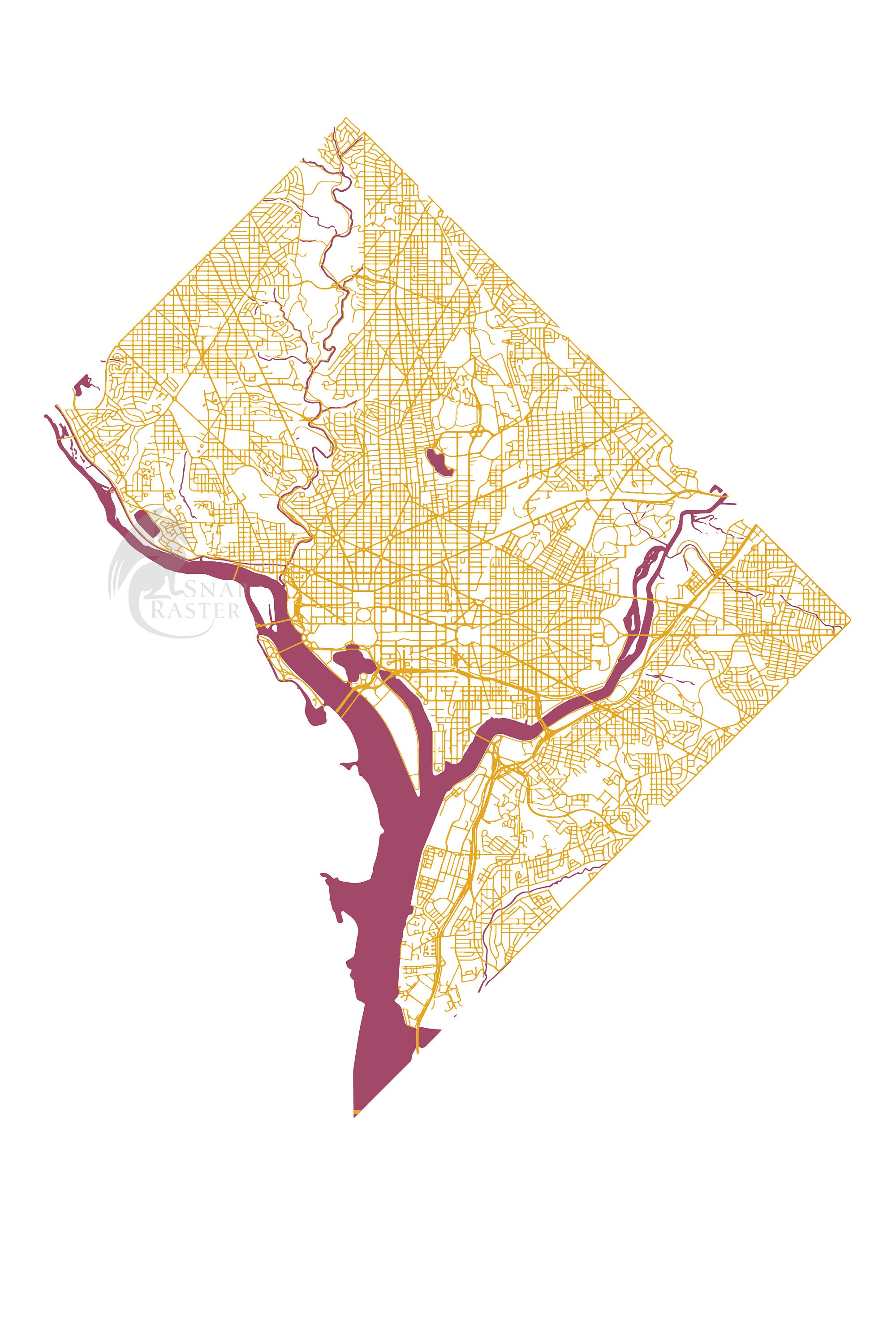
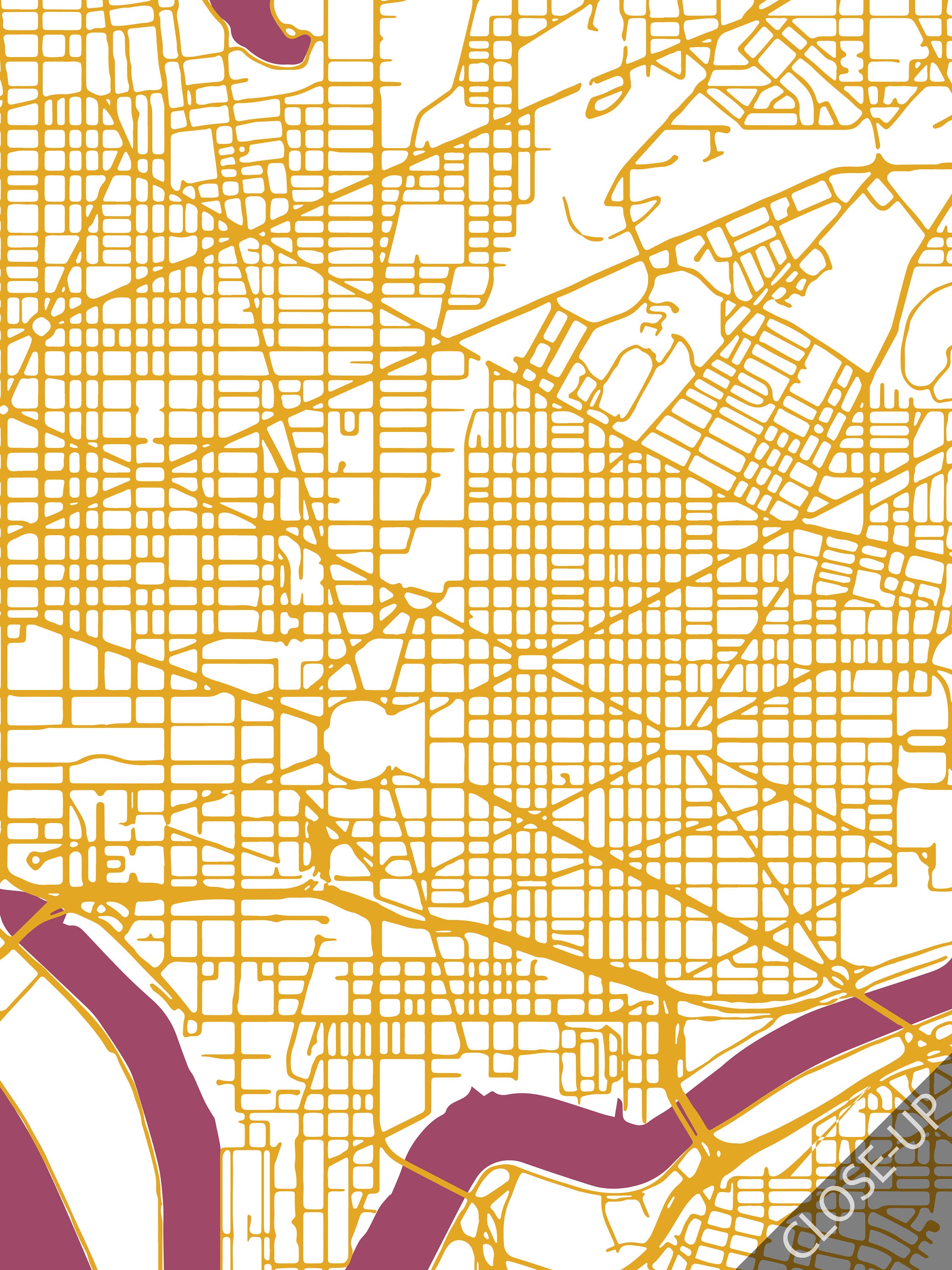
I created this map for a friend's fundraiser in DC. The map focuses on the streets and rivers because of their role in defining the unique geography of the city. DC's circles create a unique network of streets that are beautiful on a map and interesting to try to identify without text. Enjoy!
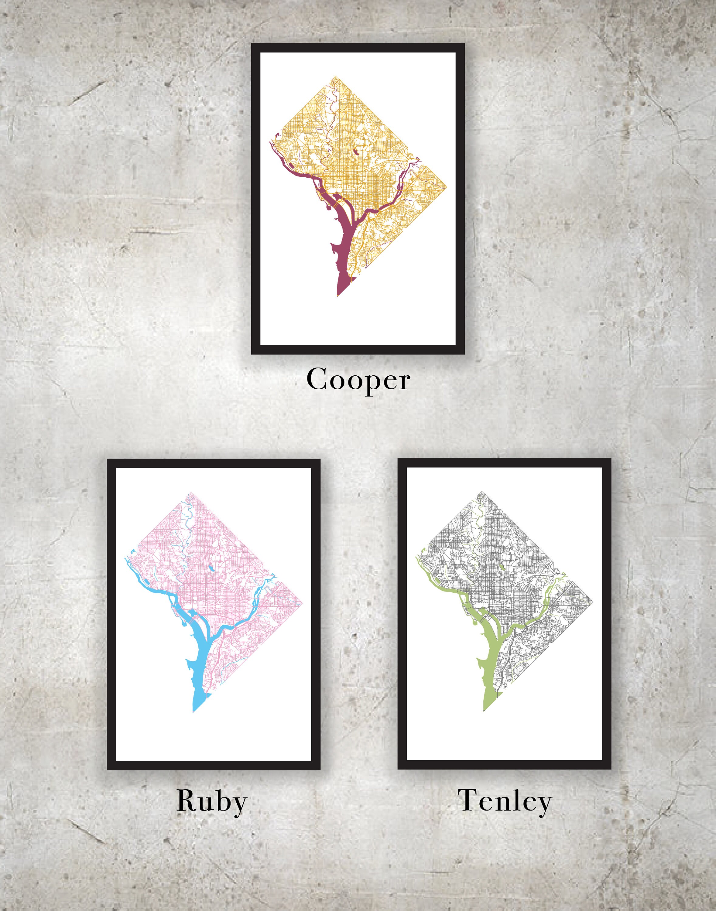
Color:
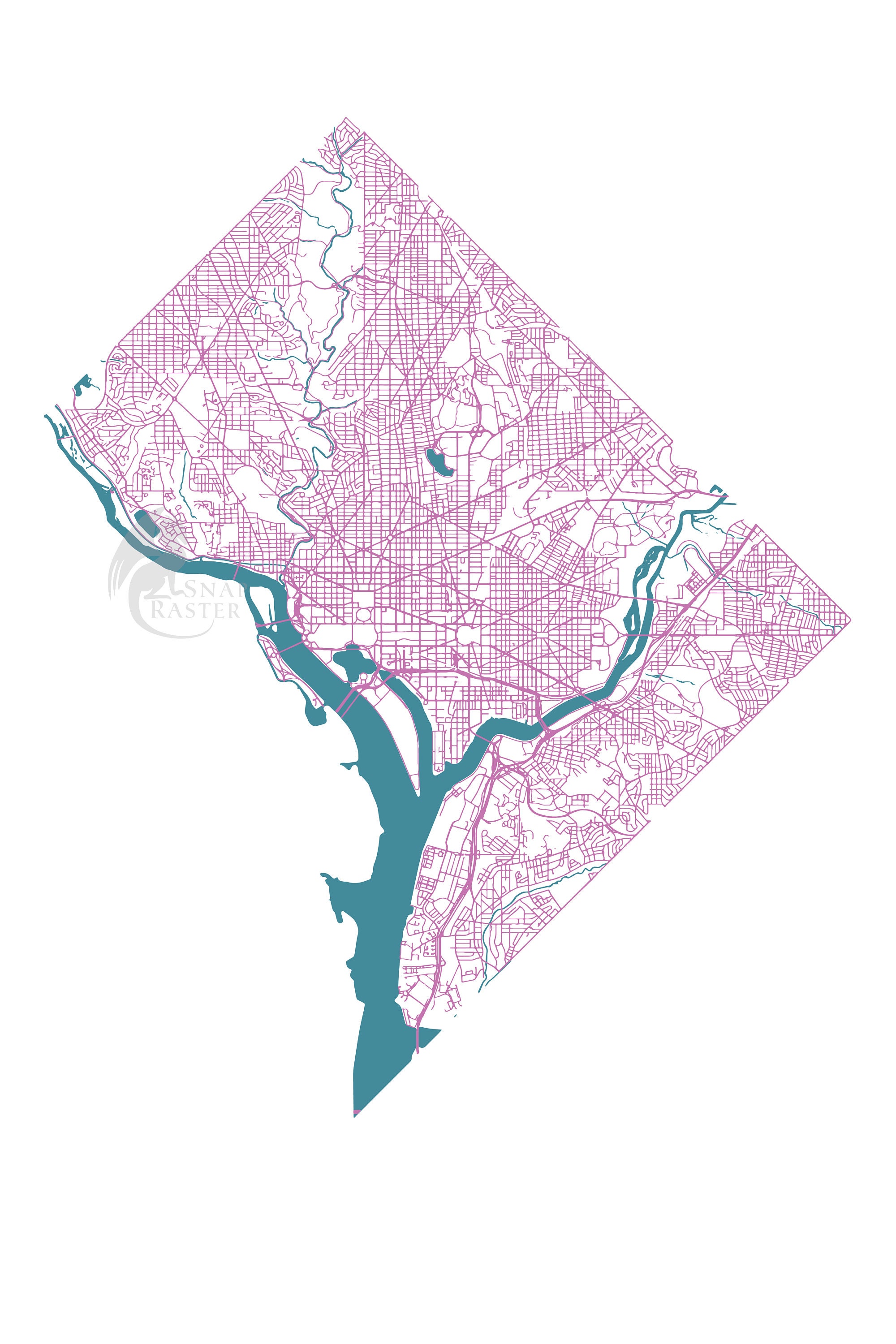
This map is available in the three color schemes shown, but feel free to choose custom color scheme to work with me to create your own.
Size:
Prints available in 12x18, 18x24 and 20x30, contact for special sizing.
Note on the Process:
This is a digitally made GIS-map using data from the DC.gov Open Data. Each map is locally printed using archival toner ink on 120lb paper with a matte finish. The 18x24 and 20x30 sizes are printed on 10 mil ultra-smooth matte poster paper, which produces a brighter color and smoother texture.
Shipping:
I hand-check each map for flaws and will personally package and ship with shipping insurance (please allow additional time for custom color scheme requests).
**Color may vary between monitor and print
**Frame not included
Check out my other city maps: www.snapraster.com
See other street maps: https://www.snapraster.com/shop/23445818/street-maps
Returns & Exchanges
I gladly accept returns and exchanges
Just contact me within: 14 days of delivery
Ship items back to me within: 30 days of delivery
I don't accept cancellations
But please contact me if you have any problems with your order.
The following items can't be returned or exchanged
Because of the nature of these items, unless they arrive damaged or defective, I can't accept returns for:
- Custom or personalized orders
- Perishable products (like food or flowers)
- Digital downloads
- Intimate items (for health/hygiene reasons)
